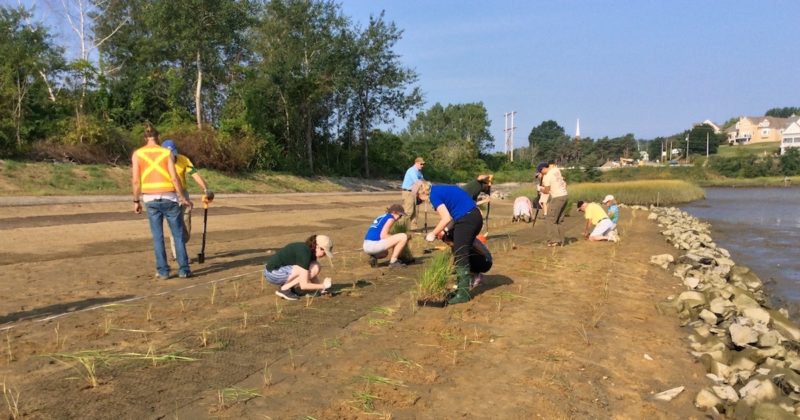
It is a truth universally acknowledged—many things are better with buffers. These areas of natural land around wetlands and water bodies keep water clean, provide habitat for wildlife, control erosion, reduce flooding, and much more. However, until now there has not been a way for New Hampshire communities to meet water quality regulations by restoring or maintaining buffers.
In response, the Great Bay National Estuarine Research Reserve teamed up with the University of New Hampshire Stormwater Center and other New England Reserves to meet this need. The outcome? Communities can look forward to getting regulatory credit for “going green” by using restored or constructed buffers as a water quality best management practice (BMP).
“We knew our communities valued buffers for different reasons, but they were not able to quantify those benefits in ways that would meet state regulatory requirements, which are focused on water quality,” says Cory Riley, Reserve manager. “They couldn’t consider buffers in the same way as ‘grey’ infrastructure BMPs. They needed incentives and a credible method to do so.”
The challenge was existing local science and data, which could not conclusively support recommendations for how to quantify a buffer’s ability to reduce pollution. Fortunately, the team had a mentor and a solid case study to show how this gap could be overcome.
“The Chesapeake Stormwater Network and their partners had faced a similar problem on Chesapeake Bay,” says Dr. James Houle from the UNH Stormwater Center. “They developed a weight of evidence approach to working with an expert panel to review existing literature and make science-based recommendations for the crediting of green infrastructure, and other pollution reducing solutions.”
With a transfer grant from the NERRS Science Collaborative, the New Hampshire team ripped a page from the Chesapeake team’s book. They convened a panel of experts who were able to generate science-based recommendations for calculating the pollutant removal rate of restored or constructed buffers in development, redevelopment, restoration projects, and others involving land use change.
“The notion of keeping track of the “credits and debits” of nutrient pollution has never been more critical as the state and local communities look to improve water quality,” says Ted Diers, director of the Watershed Management Bureau at the New Hampshire Department of Environmental Services. “These curves are a step forward and fill a gap in our knowledge. I also think that this effort will help to articulate the importance of natural and restored buffers.”
With the input of an advisory committee that engaged municipal staff, civil engineers, regulatory officials, technical assistance providers, and coastal training coordinators from the Rhode Island,Massachusetts,and Maine Reserves, the Going Green team is sharing these results throughout the region.
“These pollutant reduction curves should help expand and enhance recognition of the essential functions that buffers provide for watershed health and good water quality in New England,” says Mark Voorhees, environmental engineer, U.S. Environmental Protection Agency, region 1. “They provide water resource managers with a starting point for including credible estimates of pollutant removals for buffers as part of the full suite of management practices needed to achieve watershed pollutant reduction goals.”
The New Hampshire team also synthesized their experience with an expert panel process for other groups working at the interface of science and management to collaborate with experts to develop timely, science-based solutions to coastal environmental problems.
“We were thrilled to help facilitate this project,” says Allison Knab, executive director of the Great Bay Stewards. “Buffers are tremendously important to the help of the Bay, and we are so excited about the finished project.”